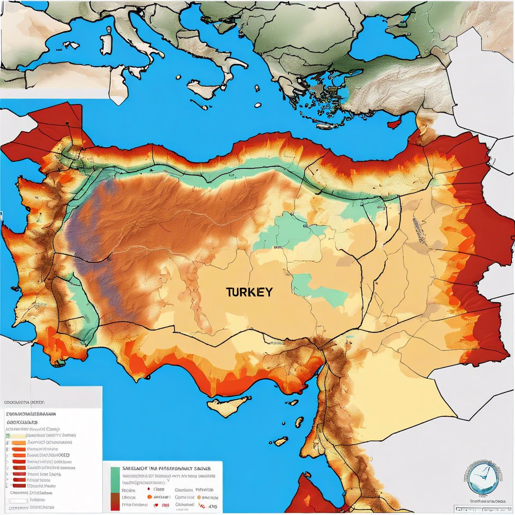
EarthquakeInformation: Innovative Application Presenting Ground Information of Turkey
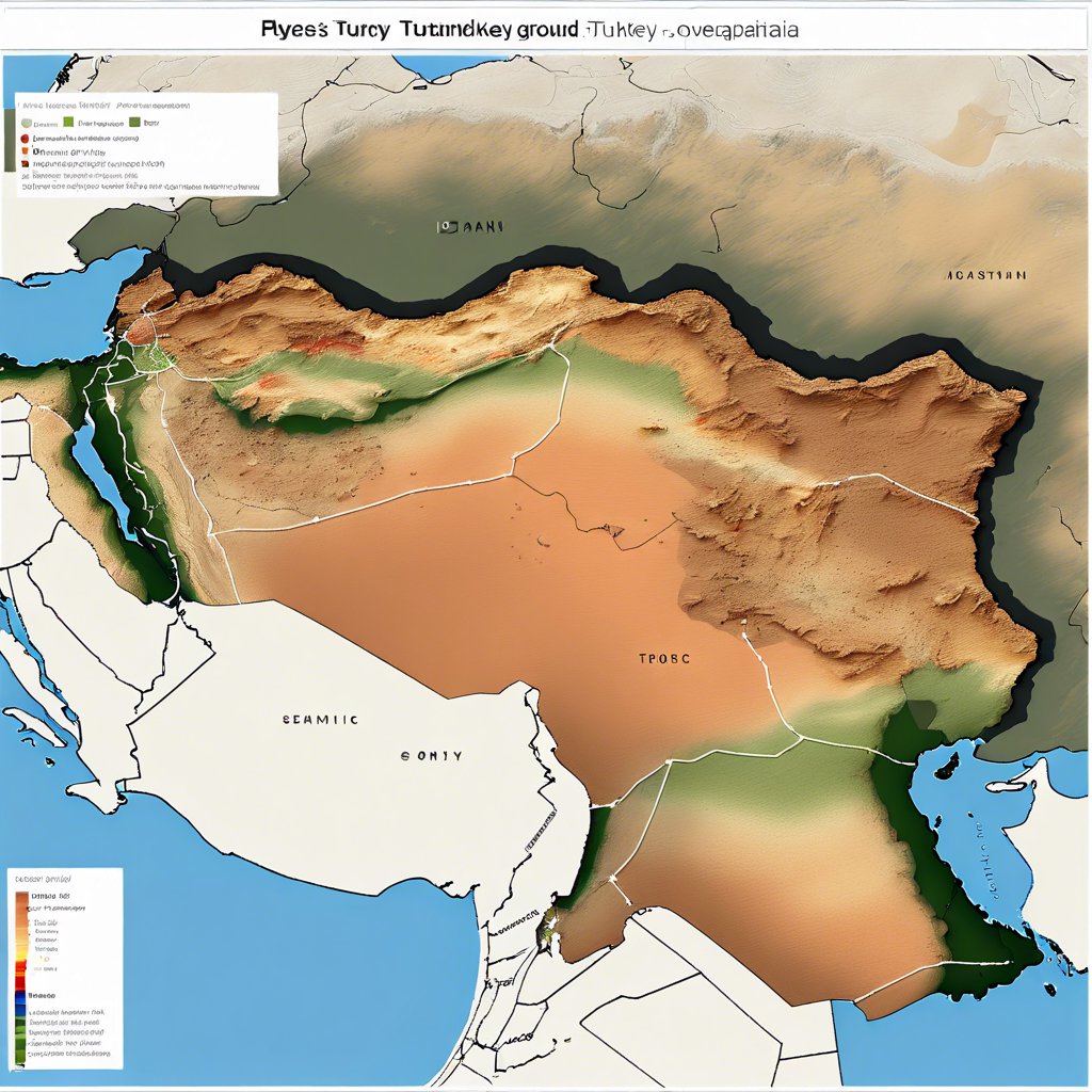
ZBEU Faculty of Engineering Geomatics Engineering Lecturer Prof. Dr. Şenol Hakan Kutoğlu, as part of the social responsibility project implemented by the university together with its solution partners, has developed an internet-based interactive application that shows ground information for every point in Turkey. Earthquake . The new version of this application now includes fault information, earthquakes that occurred in the past, and information on the magnitude of earthquakes that the fault line can produce. This application, prepared using data from international earthquake agencies, shows the ground between 925×740 meter areas in detail, and also offers the opportunity to examine accepted fault lines.


EarthquakeThe application is offered free of charge, and users are entitled to 10 queries per day.www.earthquake.com.trYou can access it from the address.
A Tool to Satisfy Public Curiosity
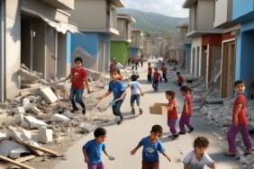
Prof. Dr. Kutoğlu stated that the application was prepared in a language that citizens can easily understand, and said, “The earthquake issue is a matter that preoccupies our people in our country. Especially after the February 6 earthquakes we experienced last year, our citizens as a whole country are experiencing anxiety. Everyone is curious about the ground where they live. Questions such as whether there is a fault in their region or not; whether this fault is active or not; if this fault produces an earthquake, how big an earthquake could occur and how much damage could occur as a result make our people think. News on this subject frequently includes different explanations and opinions; This can cause confusion in our citizens. At this point, we wanted to bring together accepted, internationally published and agreed upon data and present it in a format that our citizens can understand. “In this way, our citizens can examine the situation in their region on their own.”
The Possibility of Understanding the Threat Potential of Faults
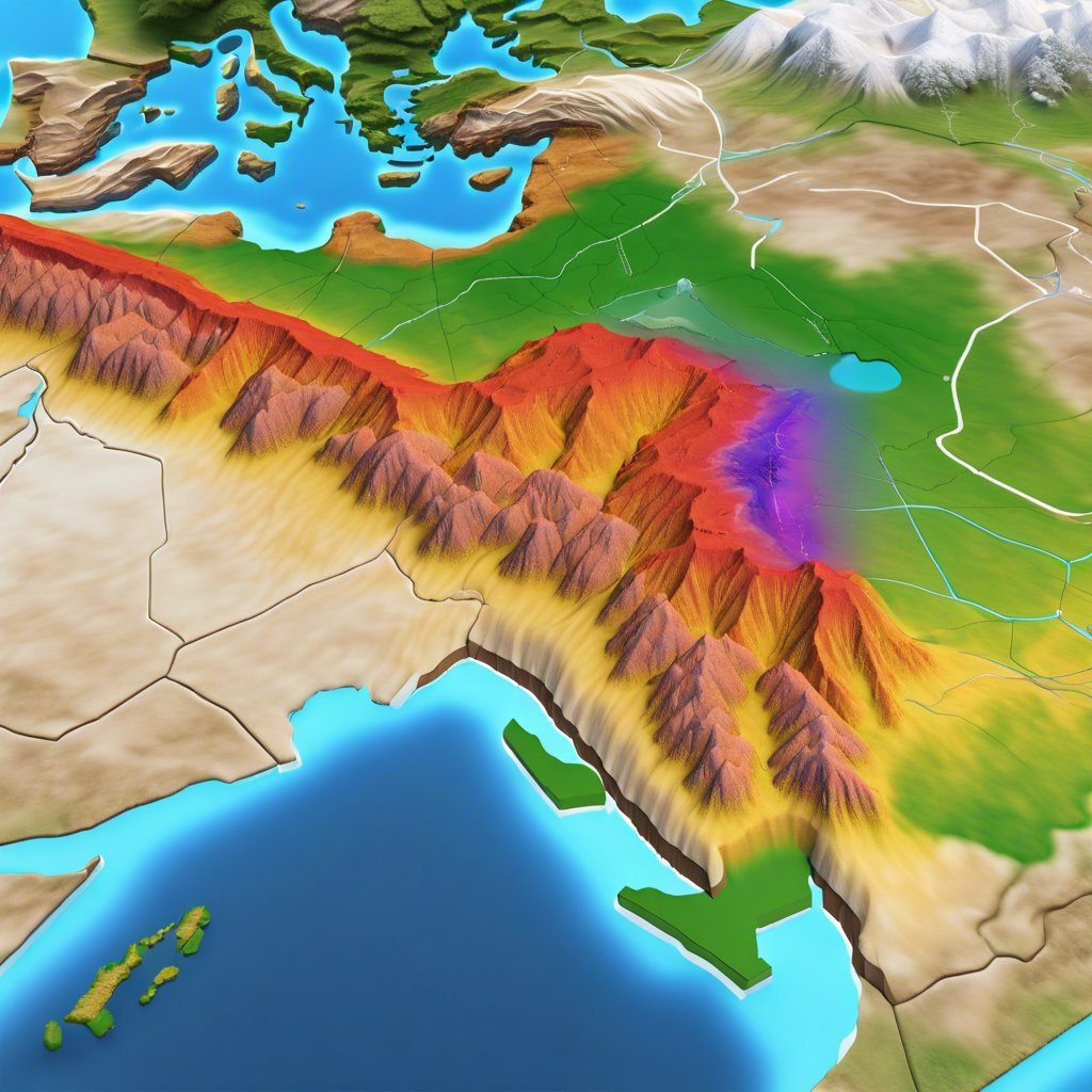
Prof. Dr. Kutoğlu stated that citizens will be able to see the potential earthquake magnitudes of the faults in their regions thanks to the application. “We have collected the data provided by internationally agreed earthquake agencies and earth science organizations and the earthquakes in the past. Now our citizens can query the faults in their region by logging in through the system. It is possible to access information such as the existence of faults, the potential earthquake magnitude and when and what magnitude an earthquake last occurred. If the earthquake history is very old, this indicates that there may be a closer danger. Now our citizens can access this information without needing anyone. Earthquake“They will be able to obtain it easily,” he said.
Future Updates and New Data
Emphasizing that they developed the project as a social responsibility project, Prof. Dr. Kutoglu said, Earthquake He stated that since they do not offer the website for commercial use, they limit each user to 10 queries per day in order to keep the density in the system under control. He stated that the information on the updated fault maps will also be transferred to the system in the third phase, and said, “Our work continues in the third phase. In this phase, we will also integrate the speed of movement of the faults. We will also add information such as how often they can produce earthquakes on average. Thus, it will be possible to evaluate how close the threat is by taking into account the time that has passed since the previous earthquake. The data used are fault maps provided by international organizations. “We will also digitize the maps provided by the Mineral Research and Exploration (MTA) and include them in our system.”