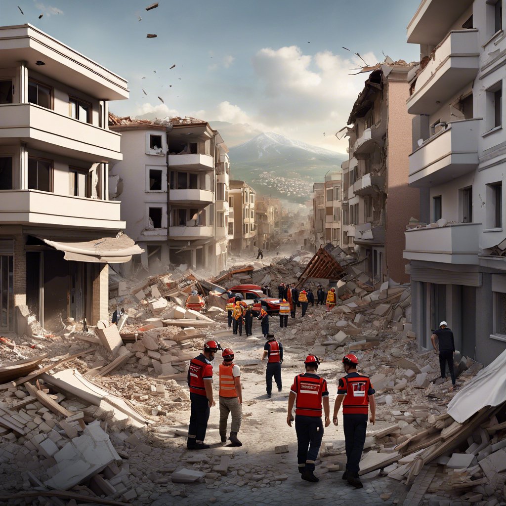
Earthquakes Centered in Kahramanmaraş and the Situation of Kayseri
The earthquakes centered in Kahramanmaraş on February 6 caused serious damage to many structures around Kayseri. Geological Engineer Adnan Evsen stated that there are 17 historical period records around Kayseri to date. Evsen said, “We were evaluating the earthquake risk and danger in the faults around Kayseri city according to the instrumental and historical period earthquake records. Among the records starting from the instrumental period in 1940, the largest is those with a magnitude of 5.4. The historical period records predict earthquakes with a magnitude of 8 and 9 on the intensity scale.”
Earthquake Potential of Faults


As a result of the latest studies conducted by MTA (Mineral Research and Exploration), it was revealed that the faults evaluated as 6.2 magnitude can produce earthquakes of 7.5 magnitude. Evsen said, “A study was conducted on the faults around Kayseri within the scope of MTA’s Geodynamics of Turkey’s Earth’s Crust Project. This study was published on MTA’s official website in February. Paleoseismological studies revealed the characteristics and earthquake potentials of these faults. It was understood that Yeşilhisar, İncesu, Erkilet and Erciyes faults exhibit both lateral slip and normal fault characteristics.”
Evsen said, “A total of 14 earthquakes have been recorded in Kayseri since 25,400 BC. In addition, earthquakes of magnitude 6.3 and 6.7 that created surface ruptures were detected in studies conducted on the Erkilet segment. Until now, we were evaluating earthquakes as 6.2 , but now we are emphasizing that there are new earthquake risks of magnitude 7.5 on the Erkilet Fault Zone, 6.7 on the Yeşilhisar Fault Zone, 6.6 on the İncesu Fault Zone, and 7.3 on the Erciyes Fault.”
Earthquakes in Kayseri’s Fault Line
Drawing attention to the three faults passing through Kayseri, Evsen said, “The Yeşilhisar Fault Zone has an average recurrence period of 3 thousand years, the Erkilet Fault Zone an average of 4 thousand years, and the Erciyes Fault Zone every 5 thousand years. The last earthquake in the Yeşilhisar Fault Zone occurred 7 thousand years ago, the earthquake in the Erkilet Fault Zone occurred 7,500 years ago, and the earthquake in the Erciyes Fault Zone occurred 15 thousand years ago. In light of this data, it is assessed that there. “may be a potential earthquake in the Erkilet, Erciyes and Yeşilhisar Fault Zones.”
Meaning of Earthquake Magnitudes

Explaining the difference between magnitude 6 and magnitude 7 earthquakes, Evsen said, “Although mathematically there is a difference of 1 point, logarithmically this means a difference of 10 points. There is mathematically a difference of 1 point between a magnitude 6.0 earthquake and a magnitude 7.0 earthquake. However, logarithmically this means 10 times more energy. In other words, 10 magnitude 6 earthquakes are equivalent to 1 magnitude 7 earthquake.”
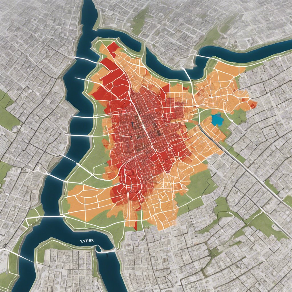
The Effect of a 7.5 Magnitude Earthquake
Providing information about the regions that would be most affected by a 7.5 magnitude earthquake, Evsen said, “If a 7.5 magnitude earthquake occurs, settlements such as Kocasinan, Melikgazi, Talas, İncesu, Yeşilhisar, especially the center of Kayseri, and all settlement areas “within a 100-kilometer distance will be affected by this situation.”